Marine mammal modeling

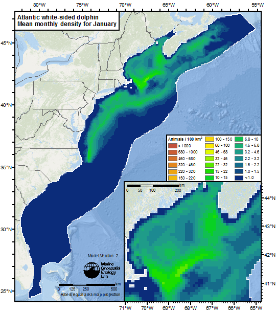
MGEL has been developing and delivering marine mammal habitat-based density modeling for an expanding list of regions: The US Atlantic and Gulf of Mexico, US Navy Atlantic Fleet Area, the Arctic and Mediterranean. 
Marine Spatial Planning
MGEL has been supporting regional ocean planning efforts on the Northeast and Mid-Atlantic regions of the US, leading the Marine-life Data and Analysis Team (MDAT) which includes researchers from NOAA Northeast Fisheries Science Center (NEFSC), NOAA NCCOS Biogeography group, Loyola University, and The Nature Conservancy. This effort brings together data from the MGEL cetacean models, NOAA NEFSC fish trawl surveys, and NOAA Biogeography avian models. These data are further summarized into datasets representing abundance, biodiversity, and species richness for groups of species. All of these datasets are then hosted by MGEL for use by several regional and national data portals – the Northeast Ocean Data Portal, the Mid-Atlantic Ocean Data Portal and the US Marine Cadastre. For more information see the MGEL MDAT website.

MARCO 
Marine Cadastre 
Northeast Ocean Data 
SEAMAP
High Seas
Our lab is involved in marine conservation issues in the High Seas and Areas Beyond National Jurisdiction (ABNJ). The MiCO project is synthesizing migratory species data, and the long-running OBIS-SEAMAP data repository and web application aggregates protected species observations. We’ve provided data ( with some derived using our MGET spatial tools) and technical support for the Ecologically and Biologically Significant Marine Areas (EBSA) initiative of the Convention of Biological Diversity. Analysis in partnership with Global Fishing Watch explores fisheries impacts. Our PhD students are active with Duke University’s involvement in both science and policy engagements in the arena.
Sponsors and Partners in all these areas include:
Ongoing and Past Projects


